
Understanding Kerid Crater history
Kerid Crater history begins with the volcanic landscape of Grímsnes in South Iceland. The crater and its lake belong together visually, but they represent different parts of the story: the surrounding hollow records the volcanic landform, while the water relates to groundwater. Looking from the rim towards the lake helps separate those ideas before a closer look at the slopes and shore.
The site's operator explains Kerið as a volcanic cone that collapsed after its magma supply emptied. In this explanation, the hollow is not simply the result of an explosion blasting out a crater. Treat that as the operator's account of formation when interpreting what you see. A visit is an opportunity to examine the shape of the landscape, rather than an excursion to watch an eruption.
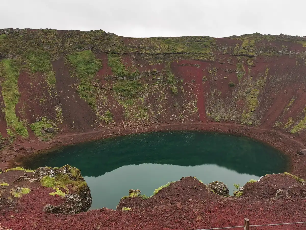
Crater dimensions and the groundwater lake
The operator describes a crater approximately 270 m long, 170 m wide and 55 m deep. Those measurements describe the landform, not the water. The depth of the hollow from its surrounding rim is a different measurement from the depth of the lake below its surface. Keeping that distinction in mind makes the view easier to understand, especially when a photograph compresses the distance between the rim and water.
According to the operator, the lake surface corresponds to the groundwater level. That relationship should not be read as a promise of a constant water level. Observe the lake as it appears during your own visit rather than expecting an old image to show an identical shoreline. For access to the viewpoints and descent, use the crater admission and paths guide.
Explore Kerið independently
This admission lets you examine the crater and lake at your own pace.
Hand-picked tours, booked through GetYourGuide. Prices are indicative starting prices in euros (as of October 2026). Tap a tour for live availability and the current price in your currency.
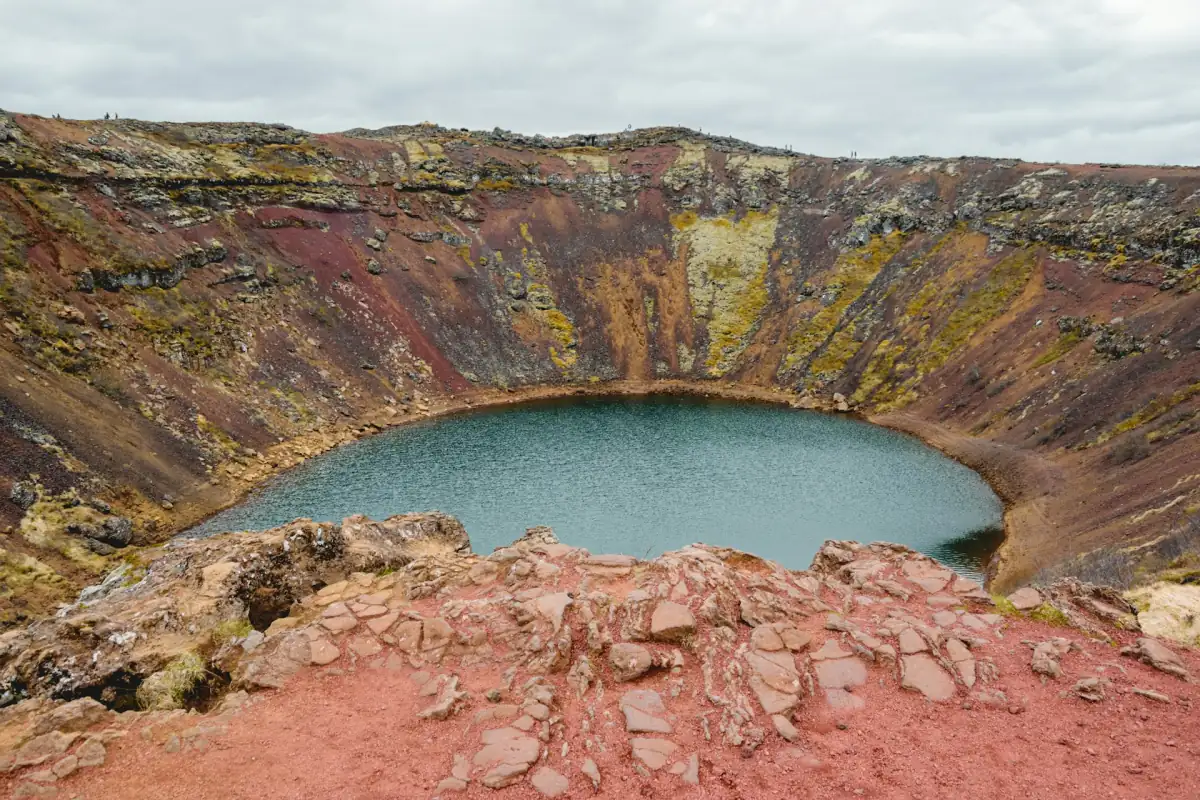
See the crater and lake independently
Self-guided admission provides access to the crater paths and lake descent, with time to look at the landform without joining a geology tour.
Kerið within the Tjarnarhólar row
The operator places Kerið at the northern end of the Tjarnarhólar crater row and within the western volcanic belt between Reykjanes and Langjökull. These are useful scales for reading the landscape: the lake is the immediate feature, the crater is the surrounding shape, and the row places it within a wider volcanic setting. They help explain why this stop offers more than a view of water alone.
Start with the overall hollow from the rim, then look at the relationship between the sloping walls and the water if conditions allow the descent. This is a suggested way to organise your attention, rather than a prescribed geological trail. The Kerið visitor overview helps connect the landscape with the practical choice between an independent stop and an organised day out.
Research in 1932 and from 1941 to 1954
The operator's research account records German researchers studying the lake in 1932. It also describes investigations by Geir Gígja from 1941 to 1954. These episodes show that the water attracted sustained observation as well as passing visitors. The historical work considered lake depth, water-level changes and temperatures, all questions that distinguish a lake study from simply measuring the crater around it.
Those investigations belong to their stated periods. Historical temperature and depth observations should be read as records of those studies, rather than measurements for the day of a present visit. In particular, they are not a basis for planning a warm-water swim. For a separate bathing outing, see the Kerið and lagoon combinations instead of treating the crater lake as a thermal pool.
Recorded visitors and a modern visit
The operator records a visit by the then Danish Crown Prince Frederik with Ingrid in 1938, and a visit by Estonian President Lennart Meri in 1999. These dated visits add a human thread to a place whose main attraction is its physical landscape. They are historical episodes, not a description of a museum collection or a promise that a visit includes a guided account of those events.
Today, a self-guided admission ticket lets you explore maintained paths around the crater and towards the lake. The ticket includes access, with parking and toilets available; a food truck on site is separate from any meal purchase. The word hike in a ticket title does not turn this into a guided walk. Give yourself room to pause, read the landform and choose your route according to conditions.
As a tourist planning guide, about an hour can suit a visit combining the rim and lake, with extra allowance for photographs and weather. The daylight and weather page explains why the available light, road conditions and icy steps can matter more than a fixed timetable. The historical story remains the same whether your visit is a short look from above or includes the descent.
Questions about Kerið's formation and past
How did the crater form?
The operator explains it as the collapse of a volcanic cone after its magma supply emptied. This is the operator's formation account, rather than a promise of an eruption experience.
Is the lake 55 m deep?
The 55 m figure describes the crater landform. It should not be used as the current depth of the water within it.
Does the admission ticket include a history guide?
The admission is for self-guided exploration of the crater and lake paths. It suits independent observation, while organised day trips are compared on the tours page.